Why NASA wants the public to submit hurricane damage photos
Time-stamped and geotagged images will be shared with emergency responders.

A National Aeronautics and Space Administration (NASA) pilot program will utilize citizen science to help expedite hurricane disaster recovery.
The space agency -- along with the Globe Program, a global science and education program -- is spearheading its new Response Mapper program, which will use before-and-after photos submitted by the public to track conditions on the ground.
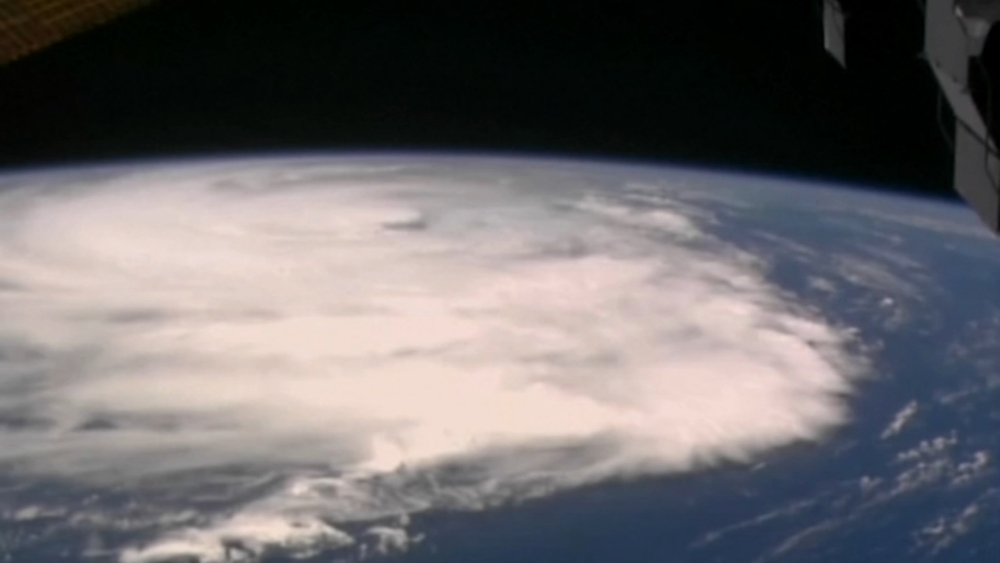
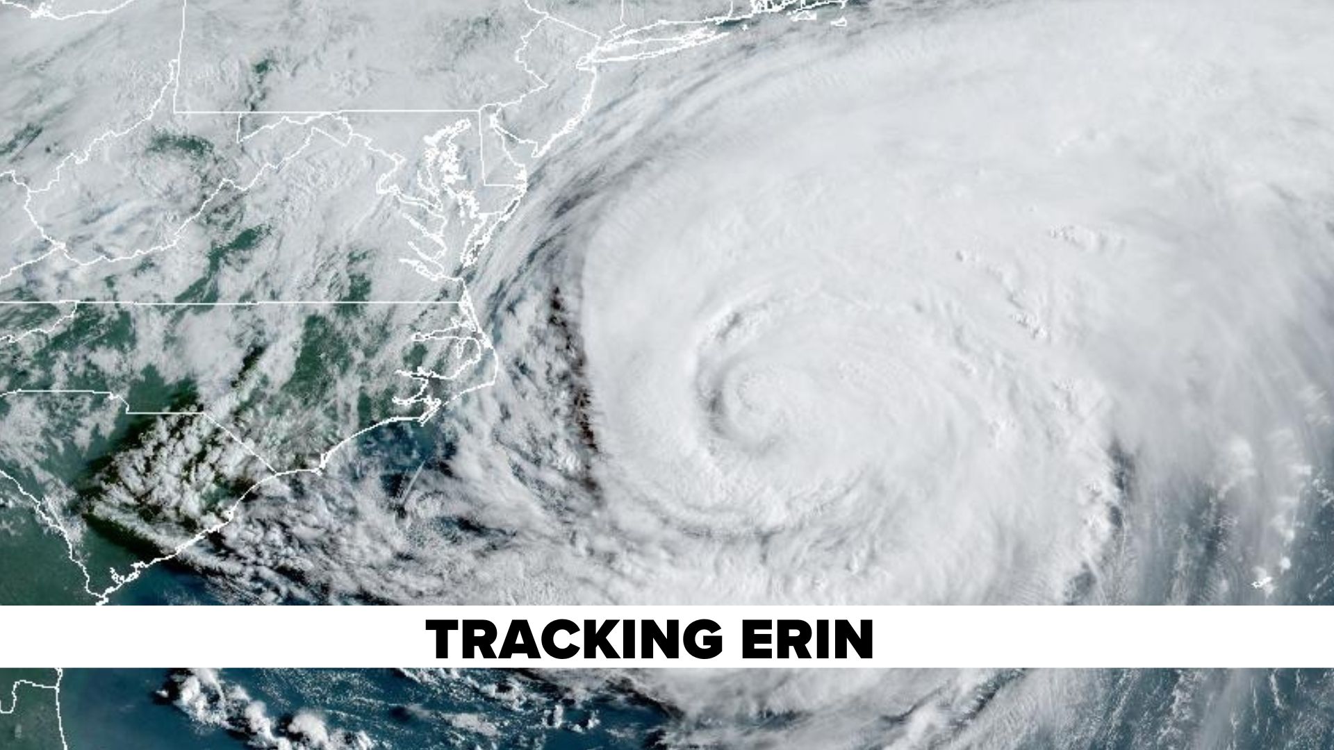
Through the summer and fall, NASA is inviting the public to participate in the program, especially for those who live in the Southeast, where many tropical cyclones can have an impact.
"Your contributions could ultimately help emergency managers make faster and better-informed decisions when it matters most and strengthen your community's ability to respond and recover from disasters," NASA said.
The time-stamped and geotagged images will be shared with emergency responders, in addition to data from satellites and field reports, according to NASA.
"NASA Response Mappers is a great opportunity to take action and support emergency response efforts before a storm even strikes," Rebecca Lewis, co-director of the GLOBE Implementation Office, told ABC News. "NASA provides crucial data to emergency responders during disasters such as hurricanes, flooding, and fires."
Disaster response teams often face challenges when obtaining "clear, localized" information, especially in rural areas, NASA said. Satellite imagery offers a wide-area view of hazards but may miss short-lived impacts due to factors such as cloud cover, orbit timing or data processing delays. Satellites can also miss finer details that photos taken closer to the ground could encapsulate.
"We're exploring how citizen science can support disaster response in ways that Earth observation data alone can't," said Kristen Okorn, a coordinator for NASA's Disasters Response Coordination System, in a statement. "A single photo of land cover, whether it is a flooded street, fallen trees or even an undamaged area, can offer helpful context."
But when combined with other observations, citizen-submitted photos can help verify conditions on the ground and fill any blind spots, Okorn said.
A photo showing debris that fell after a storm could help first responders determine where to send cleanup crews, while a photo of cropland can help NASA inform state and federal agencies that are trying to ascertain any potential crop losses, according to NASA.
"Citizen science gives us ground truth," said Joshua Barnes, manager for NASA's Disasters Response Coordination System, in a statement. "The more eyes on the ground, the better we can serve communities in need."
Citizens can share photos by downloading the GLOBE Observer app on their smartphone and joining the NASA Response Mappers team.
Users can then use the app to take land cover photos of the same location over time, "ideally" once a week or month, according to NASA. The project is "especially great" for community members curious about science and their environment; amateur storm watchers or nature photographers and those who want to support disaster resilience.
However, citizen scientists are reminded to stay safe and never take photos during dangerous conditions.
"Watch your data make a difference through maps and updates from the NASA Response Mappers team," NASA said.
The program is expected to improve data that directly supports hurricane disaster response efforts.
It will also empower people to take action to help their communities before a potential storm hits.
The program will run through Oct. 31.
"At the end of the season, we hope to tell a story that begins with everyday people helping NASA deliver life-saving insights," Barnes said. "And it can all start with a photo."