Tropical Storm Erin expected to become a hurricane on Friday
Tropical Storm Erin is expected to strengthen over the next few days as the storm moves westward.

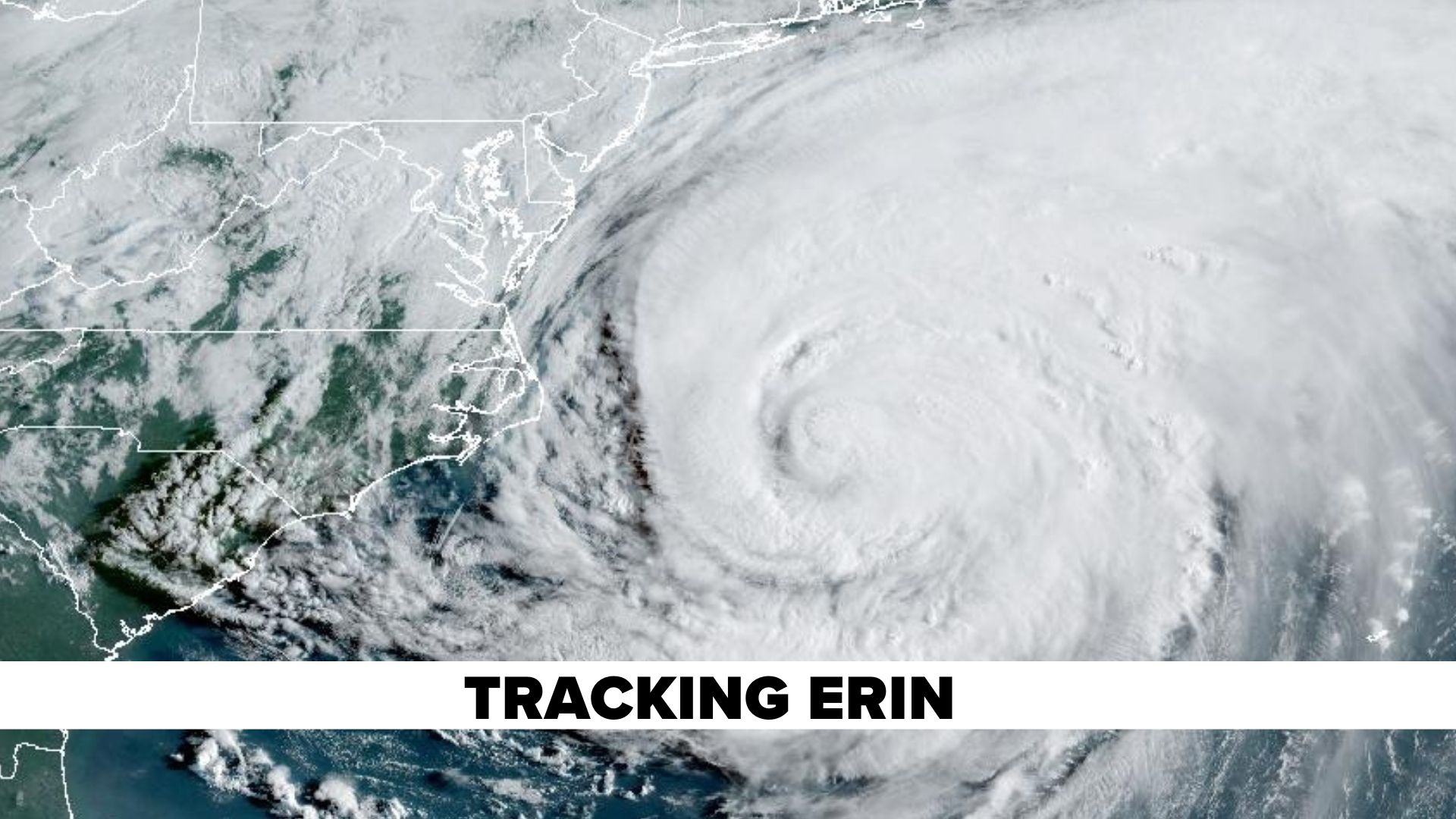
NEW YORK (WABC) -- Tropical Storm Erin continued moving westward on Thursday, roughly 700 miles east of the Lesser Antilles islands.
The storm is expected to turn toward the west-northwest is expected Thursday night, with this motion expected to continue into the weekend.
On the forecast track, the center of Erin is likely to move near or just north of the northern Leeward Islands over the weekend.
Maximum sustained winds have increased to near 60 mph (95 km/h) with higher gusts.
Additional strengthening is forecast during the next day or so, and Erin is expected to become a hurricane on Friday.
The National Hurricane Center said locally heavy rainfall, high surf and rip currents, and tropical-storm force winds could occur in portions of the northern Leeward Islands, the Virgin Islands, and Puerto Rico this weekend as
the core of Erin passes north of those islands.
The latest trends continue to show it curving north in the Atlantic, but there is still uncertainty in what impacts might occur in portions of the Bahamas, the east coast of the United States, and Bermuda next week.
The risk of dangerous surf and rip currents is increasing along the east coast, including the Jersey Shore and Long Island.
The average date for the first hurricane is August 11, but the first major hurricane typically does not occur until September 1.
Stay with the Eyewitness News AccuWeather team of Lee Goldberg, Brittany Bell, Jeff Smith, Dani Beckstrom, and Sam Champion for updates on Tropical Storm Erin.
----------
* Sign up for free newsletters
* Download the abc7NY app for breaking news alerts
Submit Weather Photos and Videos
Have weather photos or videos to share? Send to Eyewitness News using this form. Terms of use apply.